Thursday, October 27, 2016
Return to Tucson
This is a note to self. When Jim pulls forward to park the RV, this is how I know when he's in the right place. I stand by the power pole. I line up the trailing edge of the back tire with the leading edge of the palm tree. I've had difficulty knowing how far to tell him to drive forward. So now I have a visual.
As in the past, blogging will taper off a bunch now. We've hiked it, biked it, and blogged it in past years.
Gila Bend KOA
Interior roads are paved and wide. Sites are gravel and fairly level. Utilities are in the back of the site, the site is 90 feet long and 55 feet wide. There is lots of room. Power is clean, water pressure is ok. Verizon 4G is slowish. There are no pesky trees to interfere with satellite reception. No data on laundry or restrooms.
We would come back here. It's really easy on easy off. I will add, however, that the park is very close to a busy freight train line. It runs a lot at night, but they don't blow the horns, so it's no too awful.
Wednesday, October 26, 2016
Lake Havasu City to Gila Bend, AZ
I like the drive around Parker. This is the Bill Williams River NWR. It's just a lovely area.
There is a lot of development along the river. This is the far side, it may be California.
This is the AZ side, there is much golf. They've been building houses that front right on to AZ95, so much of the old view is now blocked. I can't believe people will live on what is essentially a freeway.
I did spot some wooly looking palm trees.
Over all, it's not a terrible drive. Tomorrow will be very short, we're hoping to be up and out early so we can get the RV parked and hooked up before the heat of the afternoon. It was 93 when we got to Gila Bend. Hot!
Havasu Falls RV Resort
Interior roads are paved, sites are concrete and fairly level. Utilities are mid-site. Power was clean, water pressure was good. Despite the close proximity of a wi-fi repeater, we could not get it to load anything. Verizon 4G was good. There are picnic tables. No data on laundry and restrooms.
There is a club house with a pool and activities for the winter visitors who have extended stays.
Their county health department has mandated the use of sewer hose supports to "improve the flow." They actually come out and inspect. Clearly they don't have enough to do.
It's not a bad park. Although right off of AZ95 it wasn't noisy. I thought it was a little pricey, but hey, it's Lake Havasu! They have the bridge.
Tuesday, October 25, 2016
Bakersfield, CA to Lake Havasu, AZ
Anyway, the drive is improved over past years. The bridge decks are level with the road surfaces on CA58. Parts of I40 have been patched. It still sucks when you cross the AZ border, they need to work on that surface.
Parts of the drive are attractive.
This is the train going through tunnels over Tehachapi Pass. This is a famous stretch of track.
Train nuts like to park at the over look at watch the trains do a 360. It's how they manage the grade. This was built in the late 1800s. Pretty amazing considering the state of their technology.
There are also wind turbines - a lot of wind turbines.
Finally we made it to the border. There is the always lovely Colorado River.
We drove down to look at the London Bridge. This actually came over from London in the late 60s. It was taken apart, each brick was numbered, and they brought it over here.
Hundreds of swallows live on the bridge. Bats live under it.
The drive to get the bridge here was to attract tourists and promote growth. It appears to be working.
This was a longish day for us, but not staying in Needles is a good thing.
A Country RV Park
Interior streets are paved. Sites are paved and pretty dang level. Power is clean, water pressure is good. Verizon 4G was good. We had small picnic tables on the sites. You will be close to your neighbors. Satellite reception was good. There is a half grass strip between sites.
The biggest drawback to the park is noise from the trains. A lot of freight moves through the area. I don't know if we would go back.
Monday, October 24, 2016
Moss Landing to Bakersfield, CA
The first section continues through massive agricultural areas.
As one goes farther south, it becomes dryer and browner.
There are miles of almond trees. Foreground is what it looks like without water. With water, you can grow just about anything here.
See the house on top of the hill? He has a paved driveway up to it, lined with pyramidalis trees.
This was the most surprising thing we saw. We did not know California is an oil producing state.
Bakersfield is an unlovely place. I will spare you pictures of the area.
Sunday, October 23, 2016
Moss Landing KOA
While in the Monterey area, we stayed at the Moss Landing KOA. We loved it here, and would come back if we were in the area again.
Interior roads are paved, sites are concrete. All sites are back ins, you will have to level. There are no overhanging trees to interfere with satellite. Verizon 4G was a little slow, but tolerable. Water pressure was good, power was clean. Each site has a picnic table
When you come into the park be prepared to make a sharp turn to the left. If you’re towing (and have a Blue Ox) you’ll need to pull forward to get the tow vehicle in trail.
There are some pesky plants between sites that interfered with the opening of our driver’s side bay door. For most of you these will not be a problem.
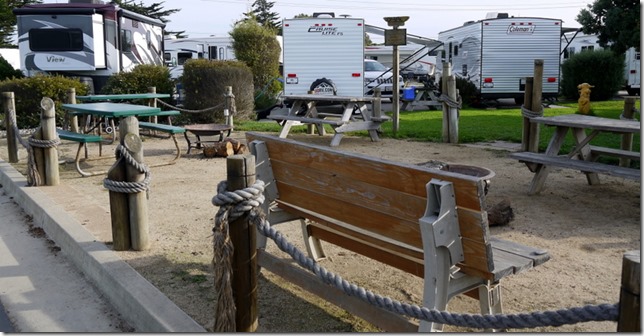
At the far end of the park there is a community fire pit with some tables and benches. It was lightly used, but might be more of an issue in the summer. I would request not being close to that.
Like so many older parts the sites are very close together. Moving around the driver’s side was difficult. We had to walk on our neighbor’s site to dump the tanks. If you don’t like RV parks where you’re close to other people, you probably won’t like it here.
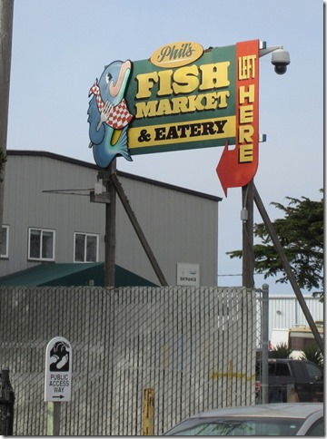
It’s about the location. We could walk to the ocean, a marina, and a state park full of pelicans. There is also Phil’s. This is the best fish place we’ve ever been in. I was standing next to a display of fish packed in ice, and there was zero odor. It’s all fresh. The restaurant is standing room only on weekends.
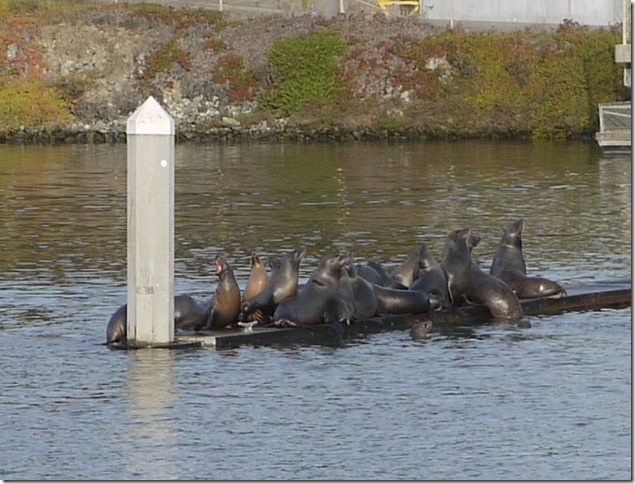
There are sea lions! You can walk over and see them, too.
Like so many KOAs, it’s also expensive. But – location, location, location.
Last Day in Moss Landing
People are so interesting. A couple in a Class A came in this afternoon. He backed in to his site with very little direction from his wife. Unfortunately he took out an above ground water pipe, breaking it off. Water in the park has been out all afternoon, thus negating my plans for cooking meals ahead and freezing them. I wonder if they’ll bill him for the damage he created.
It’s been a slow day, it’s really windy and cold. It’s a good thing that we went to Fort Ord yesterday. We went over to Phil’s Fish Market and got another sack of crab meat for dinner. It’s good that we’re leaving tomorrow, Jim might have to get a job to support the crab habit.
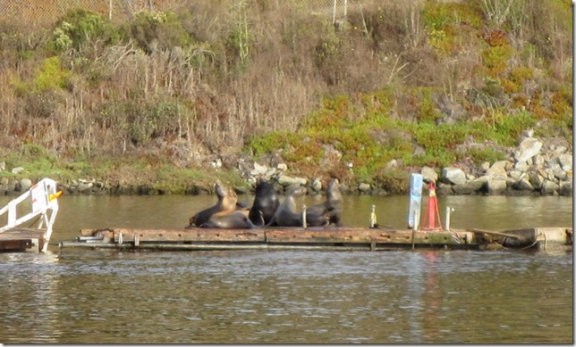
We also watched the sea lions. I don’t know how this guy gets into his boat. Sea lions are viscious, so you can’t move them off the dock.
There were many of them hauled out today.
We’re up and out for Tucson tomorrow. We’re going to do it in four short days so we can just get there.
In sporting news, Lewis Hamilton won his 50th F1 race today in Austin, TX. He and two other racers have won 50 or more races, ever. Good job, Lewis.
Saturday, October 22, 2016
More Fort Ord, an Airport and Sea Lions
There is a lot of this. See the brown line, that's a dirt road.
This was a really cool trail down to the bottom of the canyon. Down hillers have been there. We could see banked turns with tire tracks all the way up the sides.
I know I do go on about the scope of the agriculture here, but it's still quite amazing to me. The section in the middle that looks wet is strawberry production. That's the plastic I mentioned yesterday.
Look how good that dirt looks on the right. If you squint you can see the orange about mid photo. That's a pumpkin stand.
See the white about mid photo?
That is these things. Jim and I, having no agricultural knowledge what so ever, don't know what's growing under cover. This is, however, a lot of it.
After leaving Fort Ord, we drove through the Marina Municipal Airport. This used to be an army air base. That's a hangar as seen from the side.
Big runways.
I don't think the control tower is staffed.
The Marina Fire Department was there doing some sort of training exercise. It appears that three out of the four did not mind having their picture taken.
At the airport there was also a large go cart track set up and there was sky diving.
When we got home, we walked over to get another picture of the sea lions with a better camera. There was another group on a different float just howling they were so loud. Unfortunately, due to the fences we could not get a look at them.
Friday, October 21, 2016
Santa Cruz and Agriculture
Today was exasperating. We had the thought to drive up to Santa Cruz so see what we would see. What we saw was too many people and too many cars. After having lunch, we decided we couldn’t stand it and left without seeing much of anything. The state park we were interested in was 20 miles up a traffic-ridden stretch of highway. No beach would have been good enough to justify that drive. Here are my paltry pictures from the day.
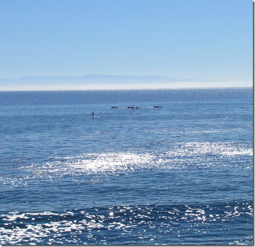
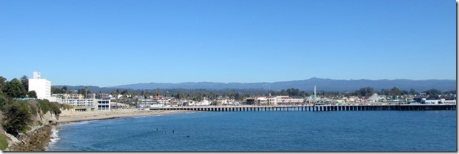
There are many surfers in Santa Cruz. One wonders why since there are no waves. That group of three out there were just bobbing around.
The houses that face the water are lovely. We were quite taken with this one.
This is also nice, it’s cheerful with the yellow awnings.
The Santa Cruz boardwalk. Notice there are no waves breaking for the surfers. We contemplated walking down there, but the crowds were already starting to make us itch. We went for pizza, instead.
We saw this guy riding down the sidewalk when we were on our way out of town. He was making better progress than the cars.
These are strawberry fields. California produces 80% of the strawberries sold in the US. Their fields are amazingly productive. They yield ten times more strawberries, per acre, than strawberry farms in Michigan; twenty times more than farms in the state of New York. And there's a complex web of reasons why. That strawberry you just bought at the supermarket traces its ancestry to a microscopic particle of plant tissue that somebody cut from the tip of a growing strawberry stem five years ago. That tiny bit of strawberry stem went into a little glass petri dish and grew into a new plant. Then it sent out dozens of little daughter plants called "runners." All those plants are clones of the original stem.
The black shiny stuff is plastic. I thought it was to keep the ground warm and the berries clean. It’s actually used to lock chemicals into the soil. Every year, a month before planting time, fumigation machines move slowly across California's strawberry fields. They inject chemicals into the soil and seal the fumes into the soil with sheets of plastic. The chemicals kill practically everything in the soil: Insects, weeds, and fungi. One of the most commonly used chemicals is known to destroy ozone.
This is prime strawberry country. They like the mild moist climate and cool nights. So do people, which makes this land very expensive. As people encroach on the berry farms, stiffer regulations on what can be pumped into the soil come into play. As of now, there aren’t any good alternatives to fumigation. I’ve cut and pasted from this article, it’s worth reading. You may be wondering, what happens to all of that plastic? It used to be burned, now much of it goes to landfills. It’s difficult to recycle agricultural plastic. You can read more on how much plastic is used in agriculture in this article.
Later, after doing laundry, we went for a nice walk in Moss Landing. It’s a working marina. They have resident sea lions.
That brown blob lower right is an otter.
There was fog, it was very atmospheric. Note that absence of people. Actually there were two people, but I cropped them out. Begone, people!
This pelican was diving for dinner. We watched him drop into the water three times, he got a fish twice. It was a peaceful end to the day.


