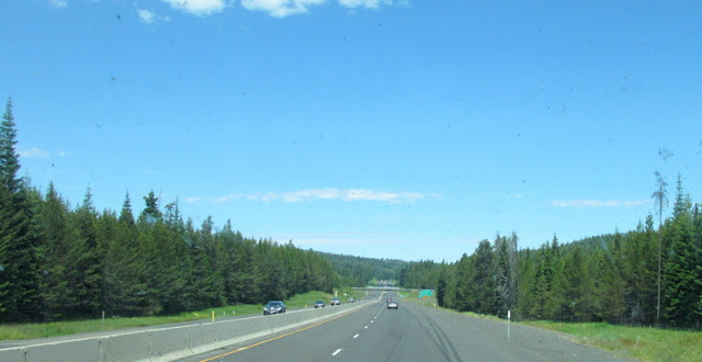
It's a hilly drive. There are quite a few ups and downs and sharp corners. ODOT has done a good job of signing and warning of what's ahead.
This was taken in Caldwell. I like it when the low sun illuminates a yellow tree.
Here we are leaving the higher country and heading down the hill toward the Snake River.
Another climb brought us up to where there are trees.
Trees give way to a more austere landscape and signs like this.
It's not that bad of a descent except for they took a lane away.
Looking to the left, you can see the climb out of the valley. That is a 12 mile climb, it's relentless and best done in the morning.
Then it's back to this. There is a lot of agriculture, mainly wheat and grapes.
Our friends very kindly fed us a wonderful dinner last night. This is what we saw on the way home.
We are back the Blue Valley RV Park, which I have previously written about.


already fall up there?
ReplyDeleteBeautiful tree pic. And I love the sunset picture.
ReplyDeleteInterstate highways notwithstanding, the terrain is much as I remembered it.
ReplyDeleteSay hello to Walla Walla for us! We had a glorious summer there (in an Airbnb townhouse, pre-RV) and enjoyed so many wonderful bike rides in the rural area south of town. Wheat fields, vineyards, hills, and wind farms. Many wonderful memories!
ReplyDeleteI love the name Walla Walla, though I've never been there. Thanks for the pictures!
ReplyDeleteI just love those 6% downgrade signs. In Alaska they don't even mention those. It's only the 10-12% signs you see. Beautiful country. I hope it's not too warm for you. I love love the Boise-Caldwell area. I've driven 84 a couple of times and enjoyed the drive. Hope it gets cooler for you!
ReplyDelete